big river , mo Overall FKP Details
Big River
Route Proposed by: Peter Larson
Overall Fastest Known Paddle: TBD
85 miles
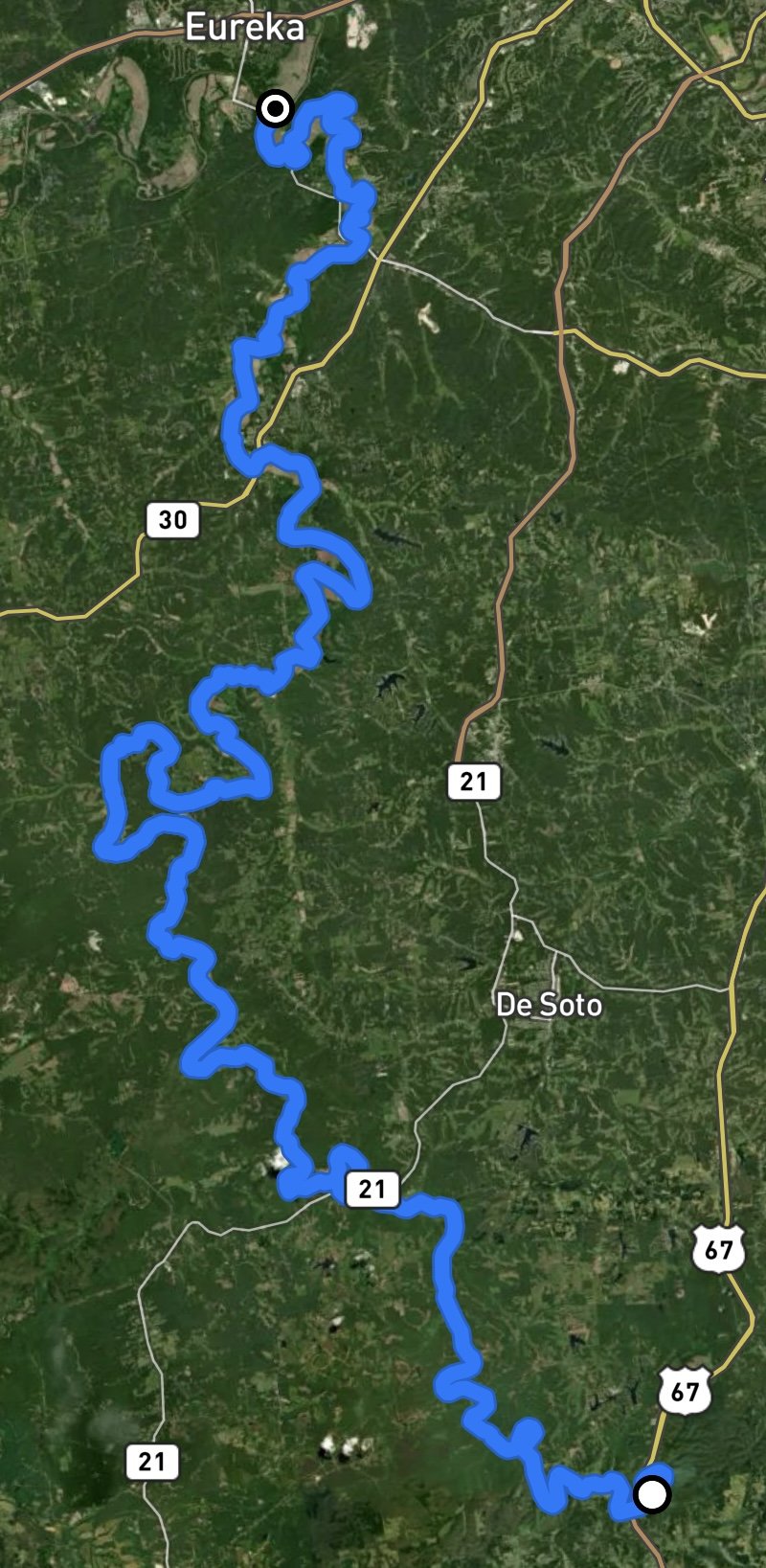
Start: St. Francis State Park, Bonne Terre, MO.
Finish: Confluence with the Meramec River, Eureka, MO.
Map resources from Float Missouri
Route notes from Peter Larson: Another tributary of the Meramec, the Big River is often overlooked due to water quality, proximity to civilization, as well as obstacles to boaters. The lower 30 miles are marked with 5 dams, 4 of which are remnants containing broken cement and rock, while one is still intact. Portaging of these remnants is recommended. While mile 0 is listed on the Float Missouri map at Cherokee Landing, due to it being a private access there is a better access just upstream by a mile and a half at St. Francis State Park off Hwy 67 near Bonne Terre, which is where this proposed route starts.